
Environmental Advisory Services in the SCenic Rim
The Scenic Rim is one of Queensland's most beautiful regions — and one of its most environmentally regulated. For landholders, graziers, farmers, and project proponents working in this part of South East Queensland, environmental obligations are woven into almost every aspect of property and land management. RiethThink Environmental helps you understand what's required and get it right.
What Makes the Scenic Rim Environmentally Unique?
Stretching from the hinterland behind Beaudesert through Boonah, Canungra, and the ranges to the NSW border, the Scenic Rim sits at the intersection of some of Queensland's most significant environmental systems. The region encompasses Gondwana Rainforest World Heritage areas, critical koala habitat corridors, the headwaters of major river systems including the Logan, Albert, and Bremer rivers, and vast areas of State-significant agricultural land.
That ecological significance translates directly into regulatory complexity. Activities that might be straightforward elsewhere — putting in a bore, clearing some timber, building a dam — can require careful assessment in the Scenic Rim because of what's at stake environmentally.
Water — The Central Environmental Issue in the Scenic Rim
Water is the defining environmental concern across the Scenic Rim. The region sits within the Logan Basin Water Plan 2007, which governs who can take water, from where, and how much. Whether you're managing livestock, irrigating crops, or running a rural lifestyle property, your use of water from a creek, bore, or dam may require a licence — and taking water without the right authority can result in significant penalties.
Groundwater Bores
Drilling a bore is one of the most common reasons Scenic Rim landholders contact us. In most parts of the region, drilling a bore for anything beyond basic stock and domestic use requires a development approval and potentially a water licence. Any bore deeper than six metres must be drilled by a licensed water bore driller. The Logan Basin Water Plan sets out what applies to your property — and it's not always straightforward to interpret.
We help Scenic Rim landholders assess what approvals are needed, prepare applications, and ensure their bore is constructed and licensed correctly.
Livestock Water and Stock Dams
Stock and domestic use is generally exempt from Queensland's water licensing requirements — but that exemption has limits. If you're expanding your dam capacity, increasing your stock numbers significantly, or diverting flows from a watercourse into your dam system, you may be moving beyond the exemption. Given the Scenic Rim's role in supplying water to the broader SEQ region, the Department of Regional Development, Manufacturing and Water (DRDMW) takes water management seriously in this area.
Irrigation and Agricultural Water Use
The Scenic Rim is the subject of active government investigation into agricultural water security — with projects like the SEQ Agricultural Regional Water Assessment looking at ways to increase reliability for farmers across the region. If you're planning to expand irrigation on your property, whether from surface water or groundwater, a water licence will almost certainly be required and the rules need to be navigated carefully.
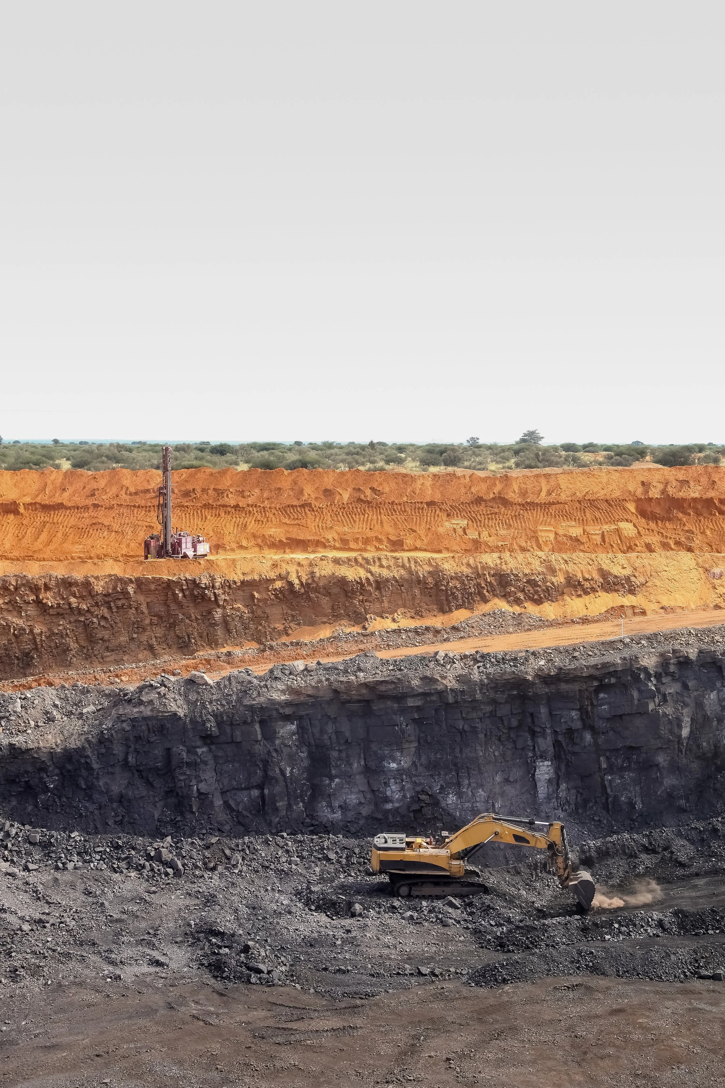
Vegetation Clearing and Koala Habitat
The Scenic Rim sits within Queensland's Koala Mapping Zone, and large parts of the region contain remnant vegetation that is protected under the Vegetation Management Act 1999. Clearing even small areas of remnant vegetation without the right permits can attract substantial penalties — and the obligation to undertake expensive ecological offsets.
Environmental offset opportunities are also significant in the Scenic Rim — with properties in suitable habitat corridors sometimes eligible for formal offset agreements that can provide a revenue stream or development credit. We can help you understand whether your property has offset potential and what that process looks like.

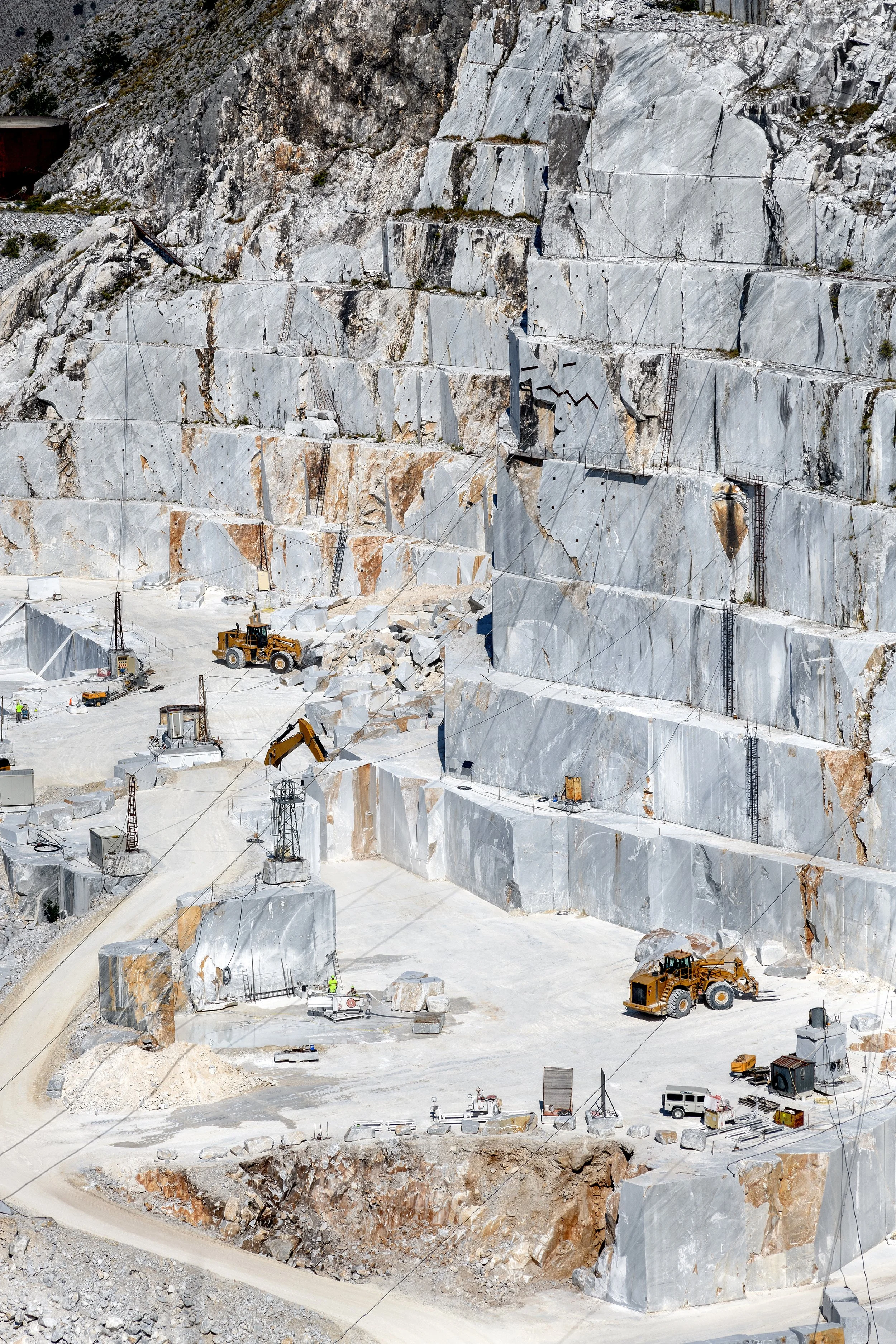
Development Approvals in the Scenic Rim
Scenic Rim Regional Council's planning scheme has strong environmental protection overlays — particularly for hillslope and ridgeline areas, riparian corridors, habitat and biodiversity areas, and land identified as having scenic amenity value. Development applications in the Scenic Rim require a clear understanding of these overlays and the assessment codes and impact triggers they create.
Why RiethThink Environmental for the Scenic Rim?
The environmental questions that come up in the Scenic Rim — water licences, bore approvals, vegetation clearing, offset opportunities — are specialist areas that require someone who understands both the regulatory framework and the local context. We work with Scenic Rim landholders and project proponents regularly, and we know the Water Plans, the planning scheme constraints, and the agency expectations that apply in this region.
The Scenic Rim's environmental complexity is real — but it's navigable. RiethThink Environmental helps you find the path through, without unnecessary cost or delay.
Ready to Talk About Your Project?
Whether you're in the early stages of planning or need urgent regulatory advice, RiethThink Environmental is here to help. We work with resource and mining companies across South East Queensland and beyond, providing practical, no-nonsense environmental advisory that gets things moving.
Get in touch today:
• Email: josh@rieththink.com.au
• Phone: +61 421 455 232
• Or use the contact form on our website
We typically respond within one business day.

If you're unsure which service applies to your situation, get in touch for a straightforward conversation. We'll help you understand your obligations and work out the best way to support your project or operation — no jargon, no pressure.
Not sure where to start?
Contact us
Interested in working together? Fill out some info and we will be in touch shortly. We can’t wait to hear from you!